File:Mexico Cruise.png
From The Maceys in California
Size of this preview: 600 × 600 pixels. Other resolution: 1,024 × 1,024 pixels.
Original file (1,024 × 1,024 pixels, file size: 341 KB, MIME type: image/png)
Summary
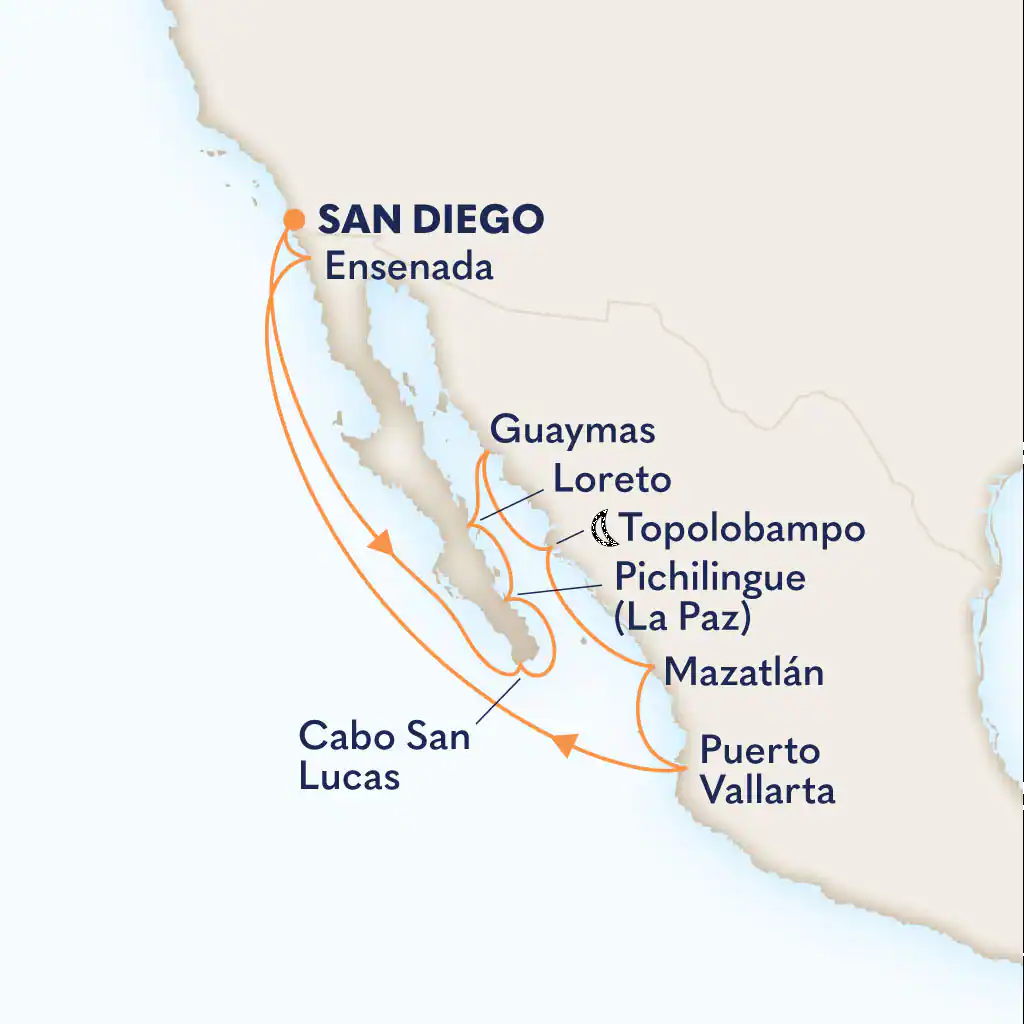
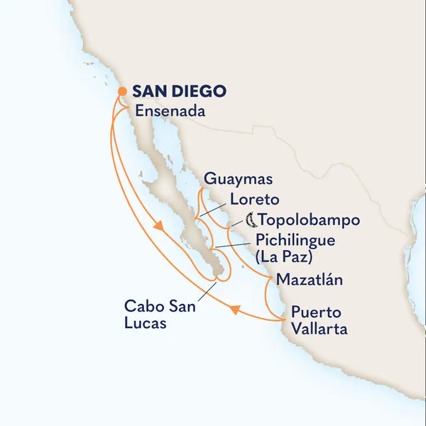
Close as I could get. The map is of a 12 day; we were on 10 day. We did not stop in Guaymas or Ensenada.
File history
Click on a date/time to view the file as it appeared at that time.
| Date/Time | Thumbnail | Dimensions | User | Comment | |
|---|---|---|---|---|---|
| current | 01:45, 23 January 2026 | | 1,024 × 1,024 (341 KB) | Lynn Macey (talk | contribs) | Close as I could get. The map is of a 12 day; we were on 10 day. We did not stop in Guaymas or Ensenada. |
You cannot overwrite this file.
File usage
The following page uses this file:
